Discover
Bradford’s Becks
Bradford’s Becks
Graphic design & print production
of a guided walks booklet
of a guided walks booklet
Design / Artwork
Click the button to visit websiteClient: Friends of Bradford’s Becks
Service: Graphic Design & Print Management
Project: Concept, design and production of a guided walks book
Design of a walks guide book for Bradford Charity.
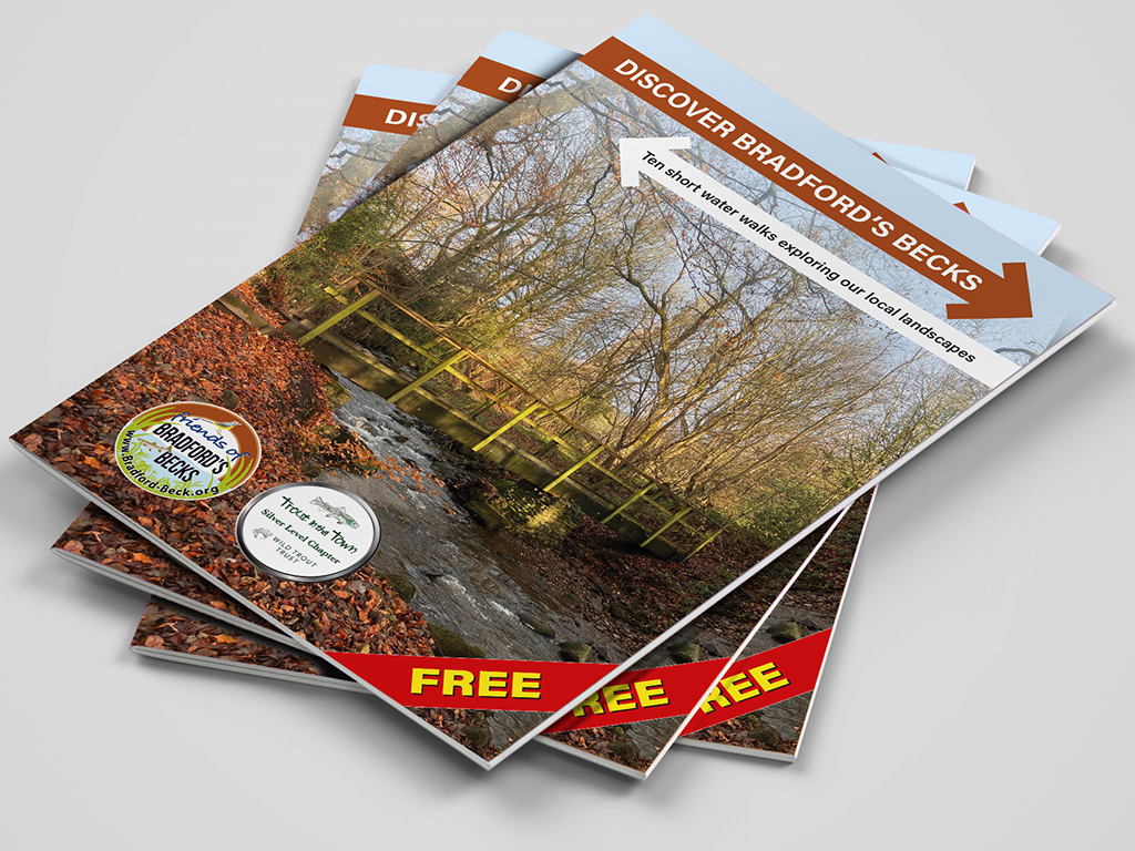
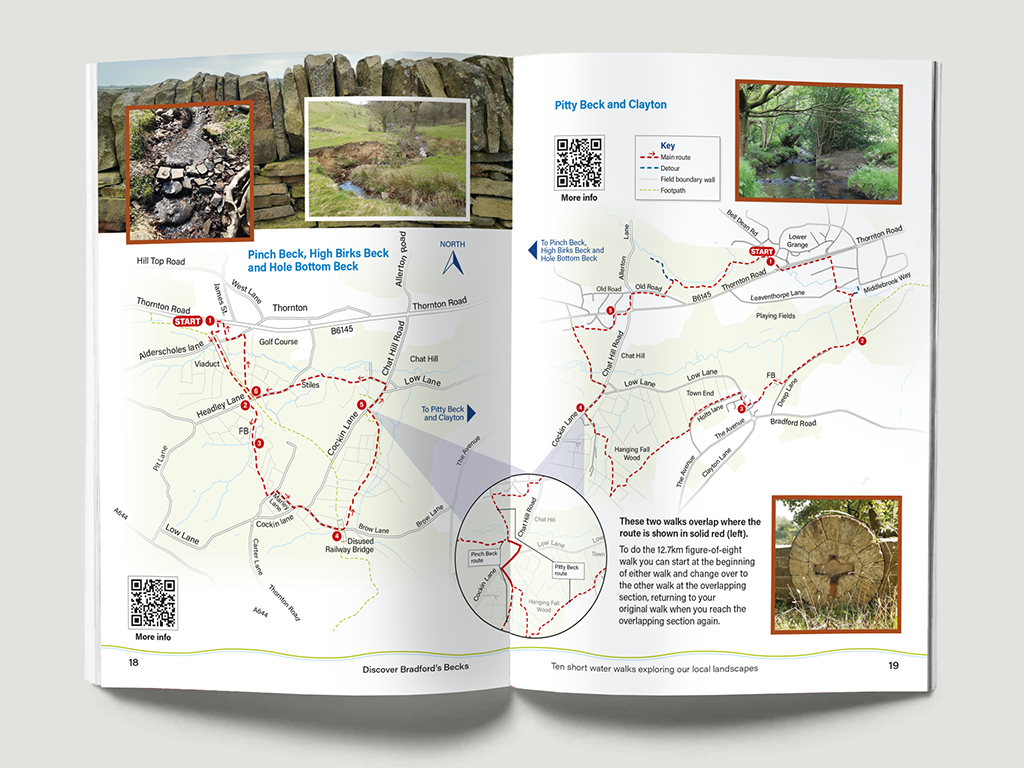
Recently I was commissioned by Friends of Bradford’s Becks to create a guide book covering a range of scenic walks within the river Aire catchment.
Design of a walks guide book
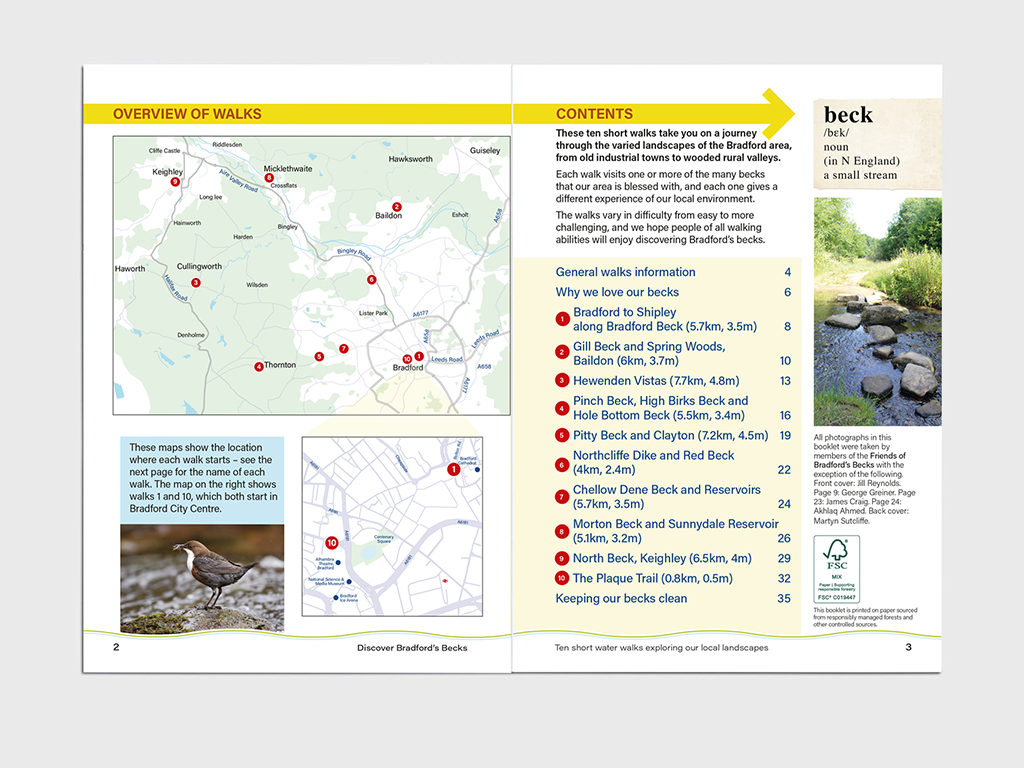
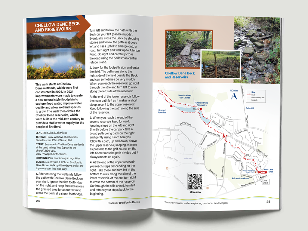
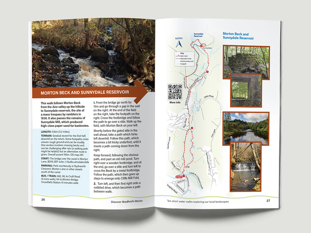
Using Ordnance Survey and Google Maps as reference, I created accurate, annotated maps for each of the ten walks featured in the guide. Every map is accompanied by clear, step-by-step instructions to help readers navigate the route, along with photographs showcasing the surrounding landscape.
Each walk begins with an at-a-glance introduction, providing details on the route length, location, terrain, and available transport or parking facilities—helping visitors plan their trip in advance.
The Challenge
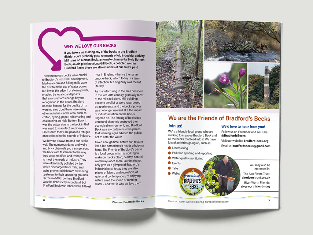
Fitting such detailed and varied information into an A5 format required careful planning, particularly as I wanted to maintain a consistent page layout across the entire booklet. I achieved this through refining map designs and paying close attention to layout and typography.
The finished booklet was well-received by both keen walkers and the general public, and was designed, printed, and released to coincide with Bradford’s designation as UK City of Culture 2025.